Walter, our friend and neighbor at the dock in Beaufort is in the marine science and conservation drone program at the Duke University facility here on Pivers Island. I said to Walter that I hope to be raising some well-informed, conservationist kids and mention that they LOVE to play video games. He said that’s the perfect combination for the kind of work he’s doing.
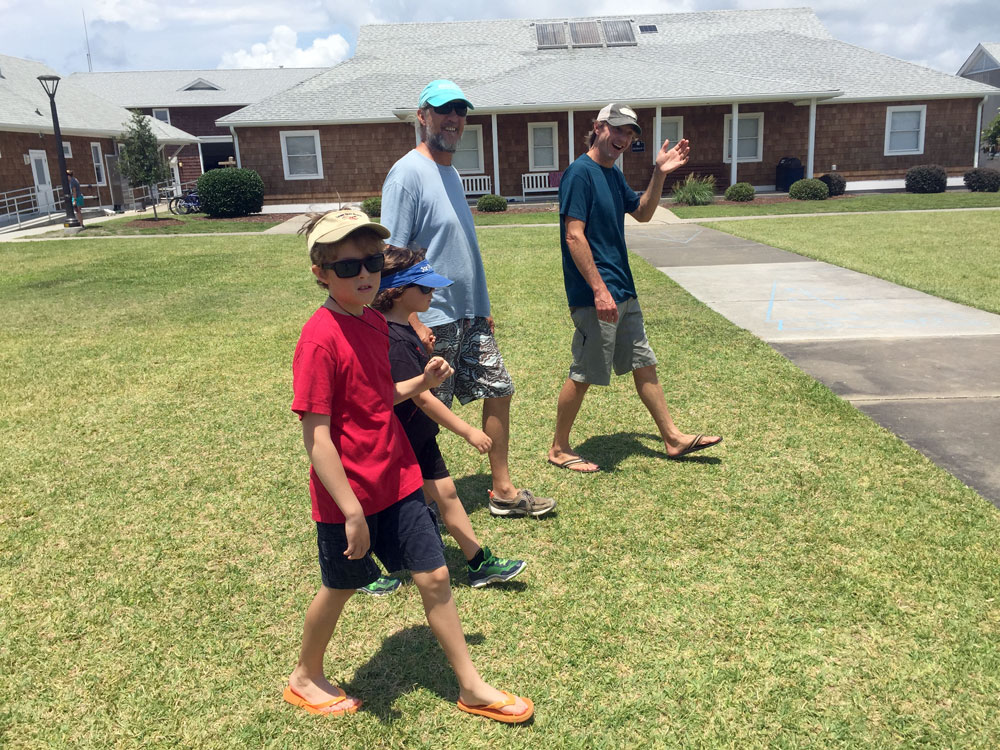
He kindly offers to give us a personal tour of the research and training facility for unmanned aircraft — or drones. We meet Rett, the program’s manager and retired US Air Force pilot and a few of the grad students as we’re shown around the lab.
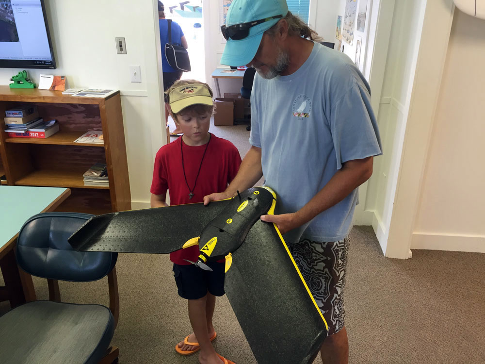
The drone used to map out a remote seal-nesting beach.
They explain how they use drones in their research. We watch a movie on how they use the data collected from the drones to create “mosaic” images to map out a remote seal-nesting beach. With this visual, they’re able to count the population and establish baseline numbers to help monitor the animals and their habitat.
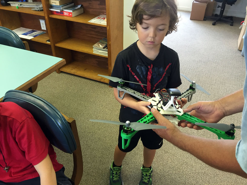
Bodin checking out a drone created on a 3D printer.
Data collected from drones can also be used to identify and analyze marine debris, look at the effects of climate change and coastal erosion and perform coastal research in remote locations. From drone images at the lab, Rett shows us how over the last few years, the Rachel Carson Reserve barrier island here in Beaufort is being affected by dredging and weather.
We see the variety of drones used for research. Tristan and Bodin get some personal flying lessons on the lab training drones. And Tristan says he’ll need way more practice to fly them! Thanks to Walter and the grad students at Duke for inspiring us with their work.